Adlerweg
PHOTOS FROM TRIPS

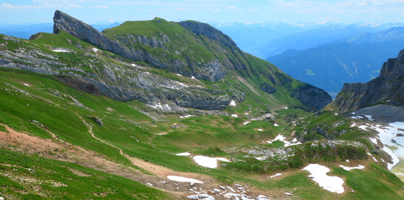
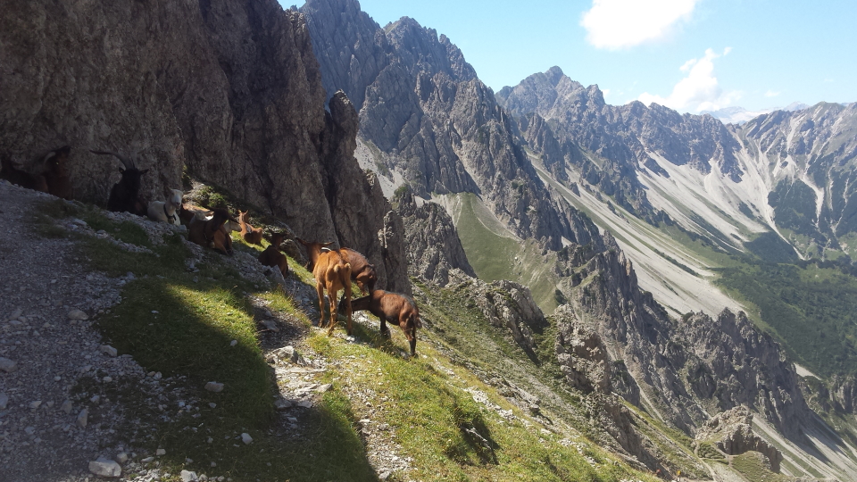
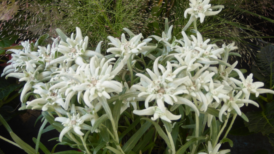
Photos from trips: Adlerweg (Eagle's Way)

Adlerweg - self-guided holiday information
Adlerweg - a guide to the trek
Photos from trips - see all our photo galleries


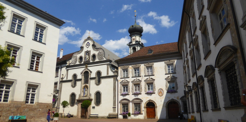
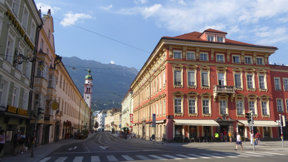
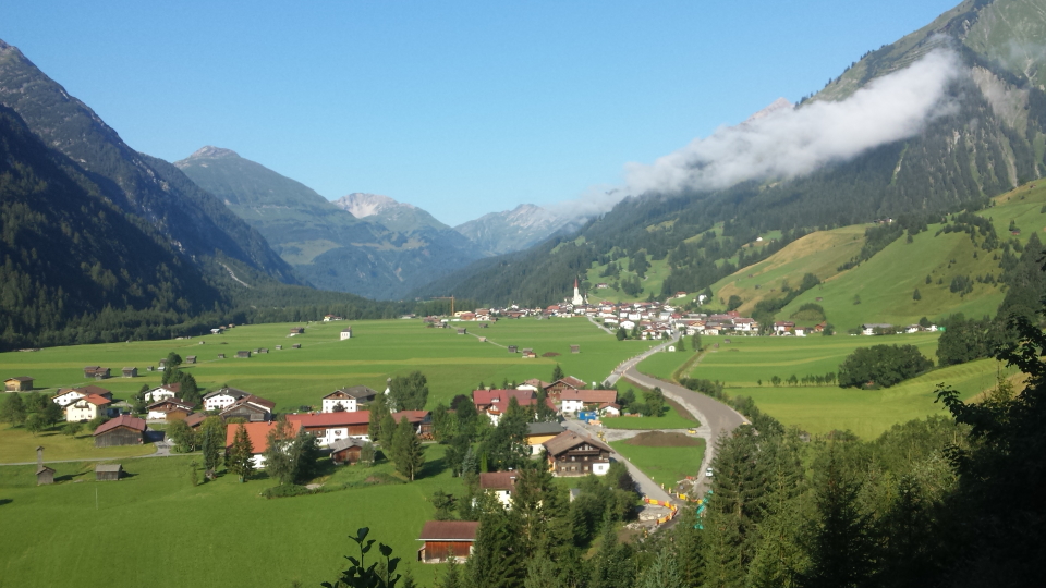
The Post Hotel in St. Johann-in-Tirol shows examples of Lüftlmalerei. This is the mural painting sometimes seen in Bavaria and the Tyrol. The town of St. Johann-in-Tirol is where the Adlerweg starts. It is along the train line from nearby Kitzbühl.


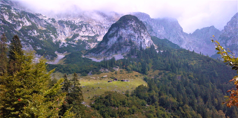
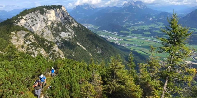
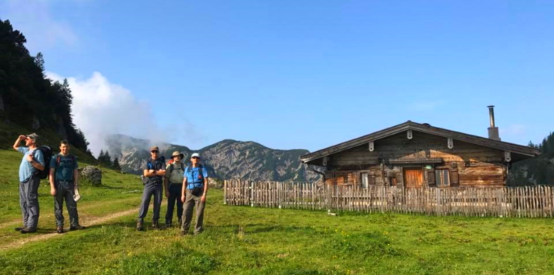
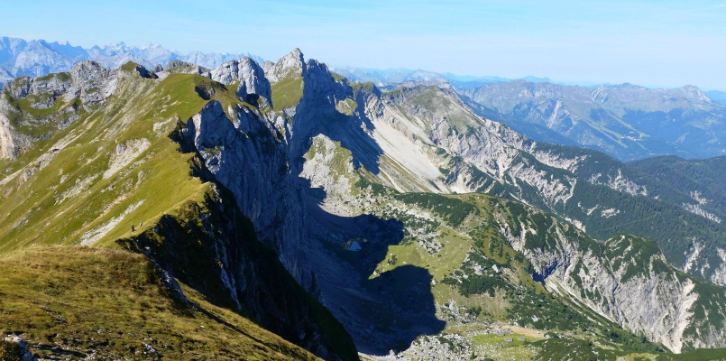
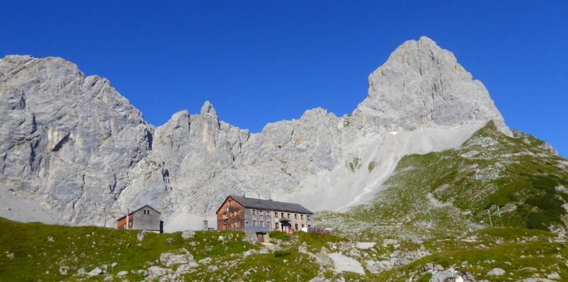
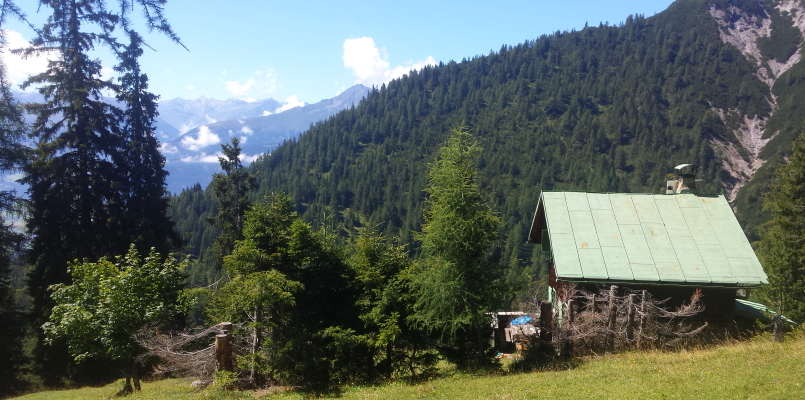
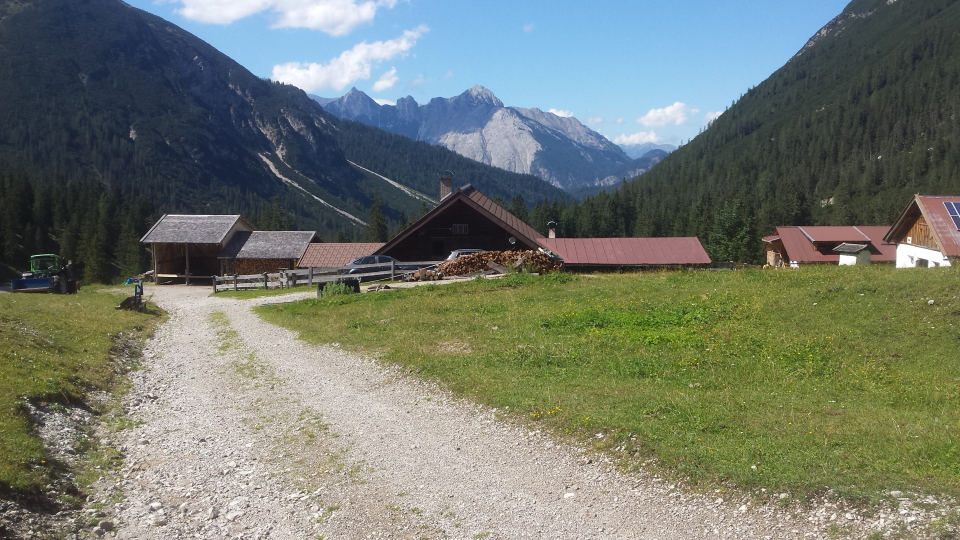
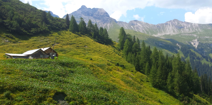
Kaiserhochalm is a fine little meadow on the stage to the Gaudamushütte. Wooden huts and barns sit below craggy limestone and forest.


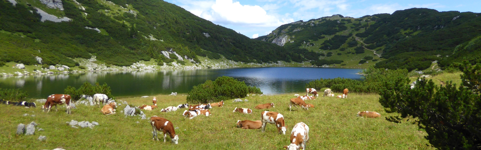
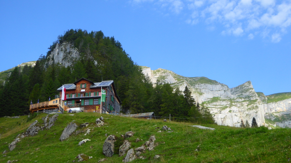
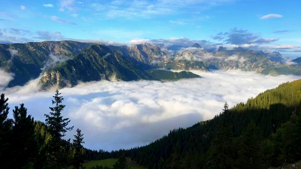
Hintersteinersee is directly on the Adlerweg, a welcoming stop after two days' walking and with accommodation at either end of the lake. A charming circuit of the lake can be made on wooded tracks.
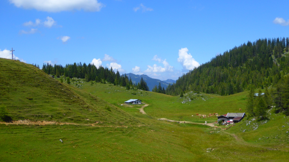
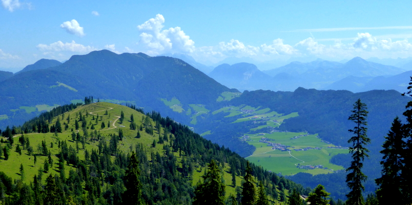
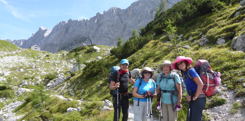
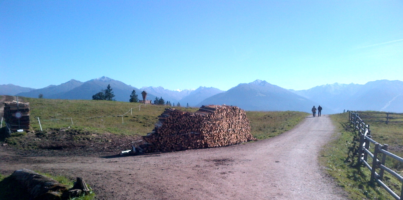
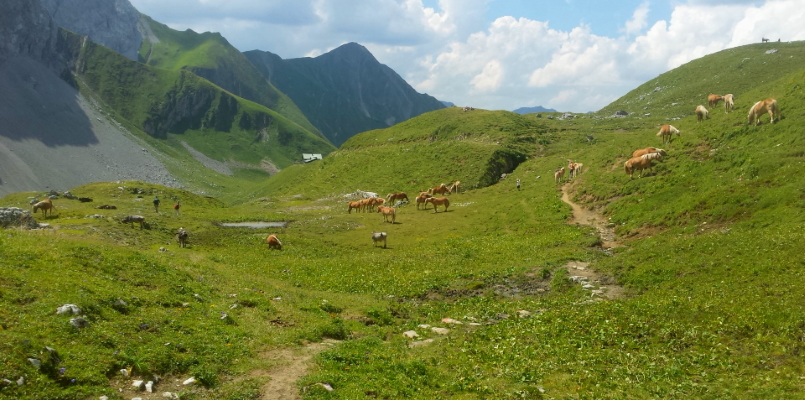
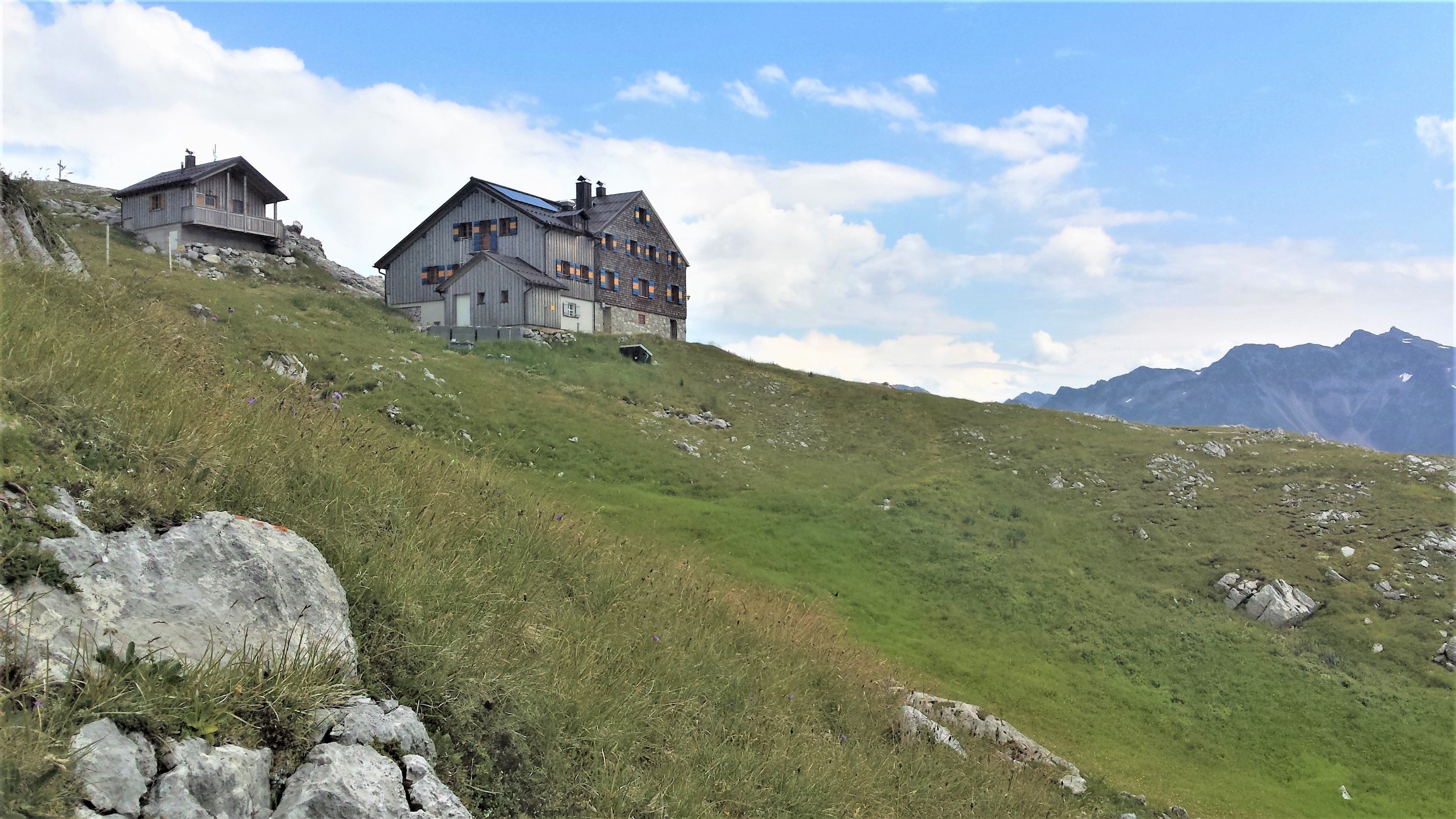
  Brentenjochalm just before Kufstein    Adlerweg


Three walkers tackle the upper reaches of the Adlerweg above Langkampfen. In the background is the Inn valley, the Wilder Kaiser range (stages 1 to 3) and disappearing behind the hill to the left the town of Kufstein.


Main climb over! An Alpine Exploratory group rests near the Höhlensteinhaus. This is a curious stage, long, but broken into a tough initial climb through woods (4.5km) followed by 22.5km to Pinegg largely on smooth and fast tracks.


From Anderl’s Almhütte on the climb to the Bayreuther hut we look over meadows and forests typical of the Tyrol.
  The Bayreuther Hütte at the end of Stage 5    Adlerweg


Snow patches are visible from Krahnsattel, a col on the way to the Erfurter hut and Maurach. The Alpine Exploratory year includes visits to our trails pre-season - so June or early July in the case of the Adlerweg - to gauge the level of snow and any tricky areas.


The view from the top of Rofanspitze, a short detour from Krahnsattel. Some points on the Adlerweg allow for short walking detours - not climbing or via ferrata - to notable minor summits.


Achensee, the lake between Maurach which is at the left of the picture and Pertisau to the right, both mostly out of shot. This view is taken from the Erfurter hut which sits directly above Maurach and is also connected by a large cable car.
  Cloud inversion above Achensee    Adlerweg


An Alpine Exploratory group guided by Allan Gibbs on the approach to the Lamsenjochhütte. We see the hut above and to the left. There has been a steady morning's climb to this point!


The Lamsenjochhütte's two buildings are cradled by the surrounding cliffs. The edifice is one of the more substantial ones on the trail and is replete with the shingle outer walls typical of many huts.


A fabulous metal sign at the Lamsenjochhütte with the edelweiss symbol of the Austrian Alpine Club. The sign states that the hut's altitude is 1980 metres above sea level and that it was built in 1908.
  View north from the Lamsenjochhütte back towards Pertisau    Adlerweg


The trail between the Lamsenjochhütte and Schwaz quickly loses height. It is a long, rolling walk. We turn a corner and begin to see historic Schwaz in the Inn valley.


Two visitors stride out near Walderalm, a farm and cafe high above Hall-in-Tirol. This stage, between Schwaz and Hall, took us quite a while to research. It takes a long loop via Ganalm, scenic but a lot of effort on tracks, and later we found a shorter route on the South side of the hill.


The Jesuitkirche in the centre of Hall-in-Tyrol. The centre of Hall is, like Schwaz, decorated and historic. Churches are typically open and, once, inside, extremely ornate. Here in Hall purple flowers fill window boxes and benches line the little square.
  Tramlines, ornate buildings and the Spitalskirche in Innsbruck    Adlerweg


One of our groups tackles the optional day hike from the Nordkette cable car above Innsbruck. Here the scene is the Karwendel mountains to the North. There are small snow patches over much of the upper hillside.


Three colourful hikers - and hiking in Austria is very colourful - on the Zirbenweg. This is the optional half-day's walk above Innsbruck, linked to town by cable cars (plus bus/tram) at both ends. It's normal to go up from Innsbruck, walk along, and descend to Hall. Most things are well linked in the Tyrol and our routecards explain the travel options.


A small private hut on the ascent to Solsteinhaus. We have climbed from Zirl near Innsbruck. The views open up across the Inn valley to the peaks above the Stubaital and Ötztal. (Tal is the word for valley here.)
  Mountain goats on the Eppzirler Scharte    Adlerweg


Screes above Solsteinhaus. We have climbed from the hut to the Eppzirler Scharte, the trickiest place on the Adlerweg in terms of terrain. We advise to skip this section if unsure on the loose ground, in poor weather, or during or just after heavy rain.


The view down to Eppzirler Alm from the Eppzirler Scharte. The Adlerweg travels through this valley and out to Giessenback near the well-known resort of Seefeld.


The view back to the Eppzirler Scharte, where we see the screes in descent. The first part of our descent, above the screes, is tricky simply because of the narrow and loose paths above substantial drops. Hikers shouldn't be put off the Adlerweg because of this stage, because it can be skipped by an enjoyable valley day to Seefeld. As another option, take the train and bus straight to Seefeld, Giessenbach or Weidach in Leutasch. We love to advise on these ways around difficulty.
  The Eppzirler Alm between the Solsteinhaus and Giessenbach    Adlerweg


The trail winds below the Southern cliffs of the Zugspitze. It happens that the Adlerweg takes us close to the highest mountain in Germany, this Zugspitze, and we stay in one of the local resort towns which is Ehrwald. There are two cable cars and, from the Garmisch-Partenkirchen side in Germany, a mountain railway to the glacier.


The Tarrentonalpe, a farm which has a simple and pleasant cafe. This is half-way up the ascent to the Hinterbergjoch, after a potentially hot morning's climb on tracks. Visible above is the path continuing below the screes of the Hauptgipfel.


Horses on grassy meadows beyond the Hinterbergjoch. We can just see the Annhalter hut ahead. This is a hut in a grassy setting, with long views to the far (West) side.
  Edelweiss flowers on the trail    Adlerweg


The long view from the Anhalterhütte. In typical Tyrolean style the hut's dining room has a tiled stove in the corner and lots of wooden, cushined, booth seating. It is a partially communal arrangement that's found in hotel breakfast rooms, and restaurants, across Austria and also Vienna.


A walker descends into Bschlabs. This is a village above the Lechtal, served by buses to Elmen where it's possible to change for the rest of the valley.


The Adlerweg trail stretches ahead on a wide track through sloping meadows, dotted with little barns. We are above Steeg in the Lechtal and about to drop left.
  Villages in the Lechtal on route to Steeg    Adlerweg


In final ascent to the Leutkircher Hütte the trail passes a small private house half-way up the hillside. It's a grassy ascent and the hut appears over a fold of hillside, brightly painted with blue and yellow shutters.


Here is the Leutkircher Hütte before the descent to St. Anton. Almost there! After an afternoon beer it's quite a simple descent on hillside paths and through forests, until we join the Eastern end of St Anton's high street. Pass guesthouses and normal houses, then join the shopping street marked by a Spar shop. Our hotel is in the centre and is lovely in its Tyrolean style. Dining out is excellent in this famous ski and summer holiday town.

Adlerweg - walk the full Adlerweg as a self-guided trip under your own steam
Adlerweg Karwendel - walk the central section through the Karwendel National Park


Alpine Exploratory
Alpine Exploratory is a system of knowledge on the best mountain trekking in our areas, giving clients superb holidays based on this exploration.

About us